← Exploring the Map of Ireland: A Complete Visual Guide to the Emerald Isle Exploring the Map of New Zealand: A Comprehensive Geographic Guide →
Scotland is a land of dramatic contrasts — rugged highlands, ancient cities, winding coastal roads, and remote islands that seem to exist outside of time. Understanding its geography is no small task, and for travelers, historians, and curious minds alike, a detailed map of Scotland is an indispensable tool. Whether you are planning a road trip through the Cairngorms, tracing the route of a historical clan, or simply trying to understand how this northern nation laid out, maps offer a clarity that no amount of written description can fully replicate.'s terrain complex, shaped by glacial forces over millennia, and its infrastructure reflects that complexity in every winding road and scattered settlement. This guide takes a closer look at what Scottish maps reveal about the country's physical character, transportation network, and major urban centers.
Relief and Roads: Understanding Scotland's Terrain at a Glance
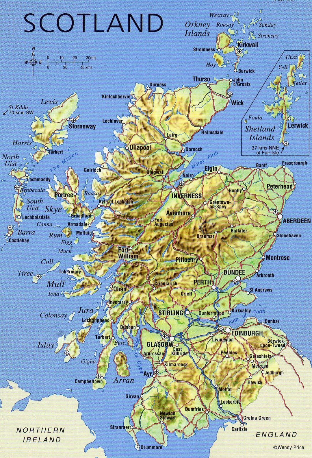
A relief map of Scotland tells a story that goes far beyond simple geography. The dark contours of the Highlands dominate the northern central regions, with the Grampian Mountains forming a formidable spine across the landscape. These elevation changes are not merely aesthetic — they have historically defined where people settled, where roads could be built, and how isolated certain communities remain to this day. Major cities like Edinburgh, Glasgow, Aberdeen, and Inverness appear clustered near coastlines and river valleys the land flattens enough to support dense population Airports marked the country further underscore how aviation has become essential to connecting terrain that road travel alone struggles to navigate efficiently The road network, particularly in the Highlands, consists largely of single-track routes that demand patience and local knowledge. Looking at a relief map, one quickly understands why has always felt like a place where holds ultimate authority those who inhabit it.
Road Networks and Connectivity Across Landscape
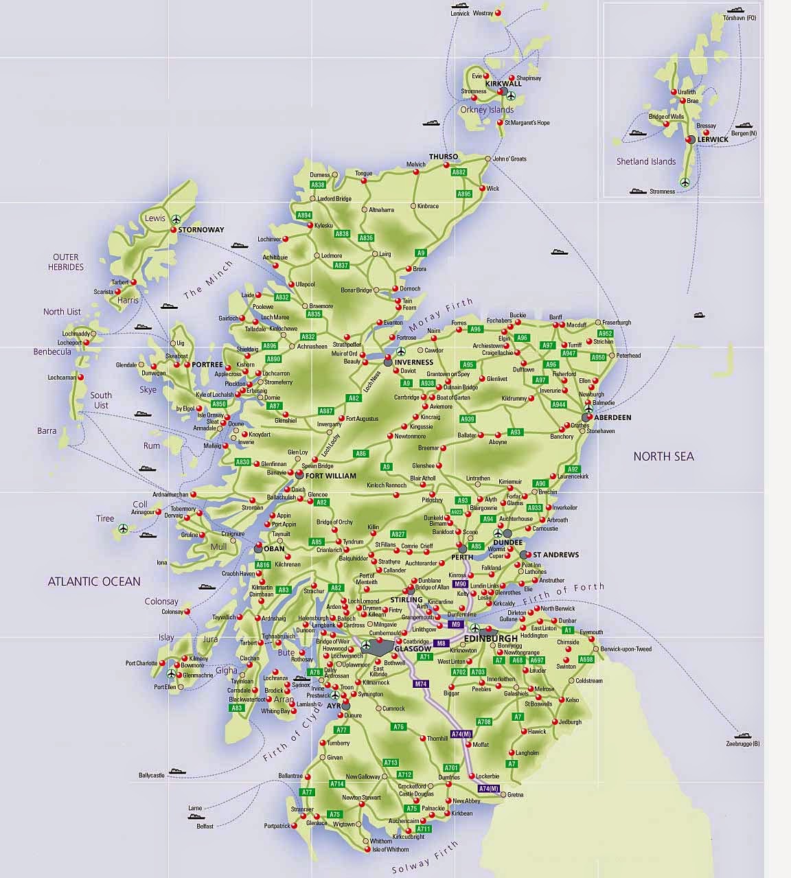
A dedicated road map of Scotland strips away the elevation data focuses on something equally revealing — the arteries that connect this vast varied country. The contrast between the dense road networks of the Central Belt and the sparse, thread-like routes of the far north is immediately striking. The A9, one of Scotland's most iconic roads, runs northward from Perth toward Inverness and beyond, serving as a lifeline for communities that would otherwise face significant isolation. In Borders Lowlands, roads multiply intersect with a regularity that reflects centuries of agricultural and commercial activity. Head north or west, however, and the routes thin out dramatically. The roads through Wester Ross, Sutherland, and Caithness often followlines or valley floors, dictated entirely by the landscape rather than the demands of modern traffic planning. For anyone looking to drive through Scotland, studying road map beforehand is not just useful — it is essential. Distance paper rarely translates to straightforward driving time when route involves single-track roads, mountain passes, and occasional roaming Highland cattle Maps this sense, are not just navigational aids. They are honest portraits of a country has never fully submitted to the idea easy passage.
Detailed Map Of Scotland

Detailed Map Of Scotland
Physical Map Of Scotland • Mapsof.net
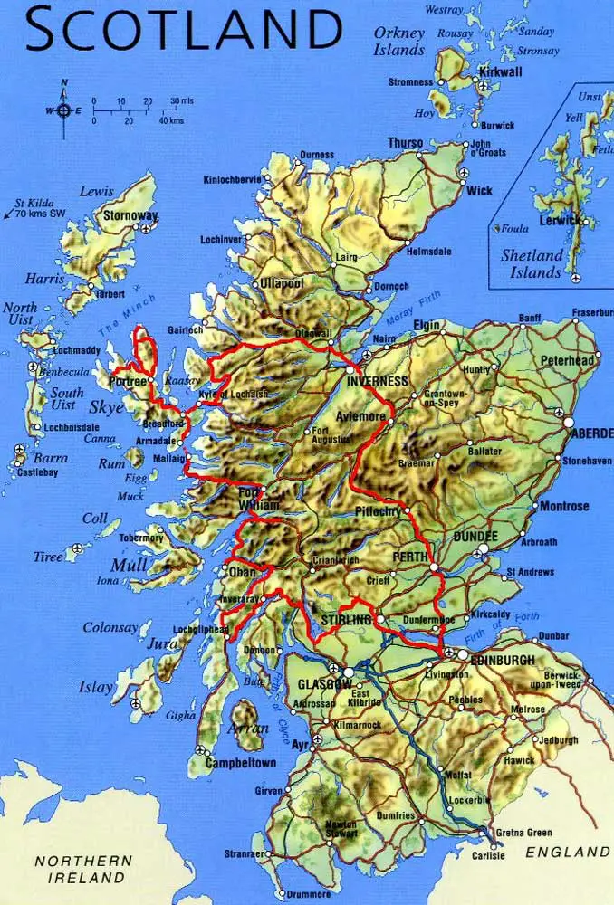
Physical Map of Scotland • Mapsof.net
Scotland Printable Map
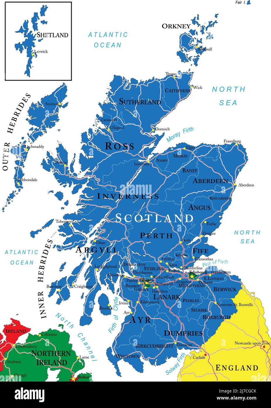
Scotland Printable Map